

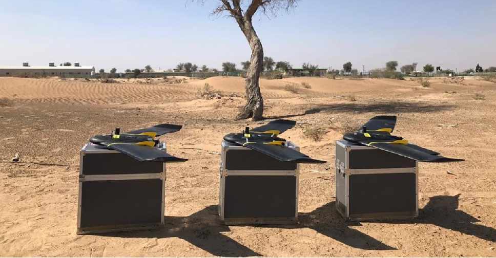
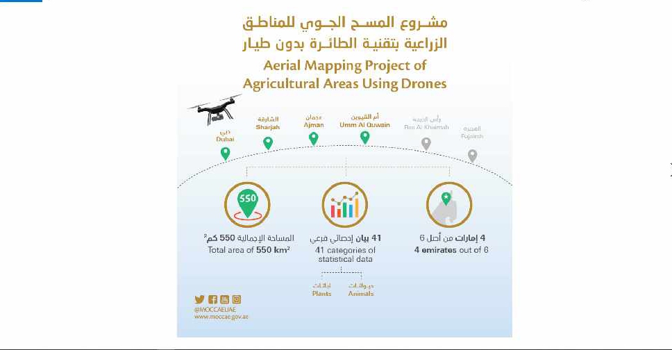
A project to map agricultural areas in the UAE using drones has completed its first phase.
It’s captured around 550 square kilometres of land across Dubai, Sharjah, Ajman, and Umm Al Quwain so far.
The Ministry of Climate Change and Environment will use the data to monitor crops and help farmers with forward planning.
Agricultural areas in Fujairah and Ras Al Khaimah will be mapped in the project's second phase later this year.

 UAE, Slovakia discuss bilateral relations in Bratislava meeting
 Emirati mountaineer becomes youngest Arab to climb over 7,000 metres
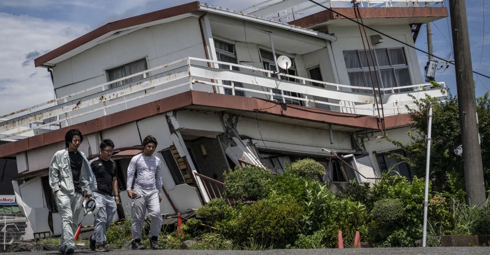 UAE stands in solidarity with Japan after deadly earthquake
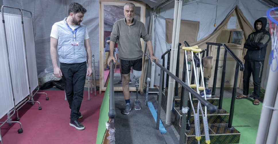 UAE Floating Hospital fits 51 prosthetic limbs for Palestinian amputees
 UAE discusses digital governance, content safety with Meta